Rhode Island's Climate and Landforms
Rhode Island's Landforms
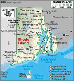
Rhode Island is mostly covered with bodies of water. Wherever you go, you might see a lake, pond, river, or a waterfall. Significant rivers include the Blackstone, Pawcatuck, Pawtuxet, Sakonnet, and Wood.The Scituate Reservoir is the largest inland body of water. Besides being covered with water, Rhode Island has a couple different landforms in different areas. From the coastline, the land form begins to rise into rocky terrains, into green hills. Jerimoth Hill, the tallest point of the state, stands at 812 ft. above sea level. About 12 miles south from the mainland, Block Island is known for its rugged terrains.
Rhode Island Weather
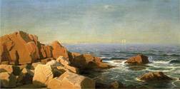
block island sunny ;)
Rhode Island's climate can be very hot, or very low. The highest temperature recorded in Rhode Island, was 104 degrees F (40 degrees C) on August 2, 1975, in Providence. The lowest temperature recorded was -25 degrees F (-32 degrees C) on February 5, 1996, in Greene. Their average temperature is from a high 83 degrees F (28 degrees C) to a low of 20 degrees F (-7 degrees C.) Their average precipitation is 46.45 in inches.
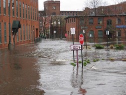
rhode island rainy ;(
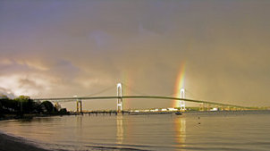
newport bridge rainbow ;)
